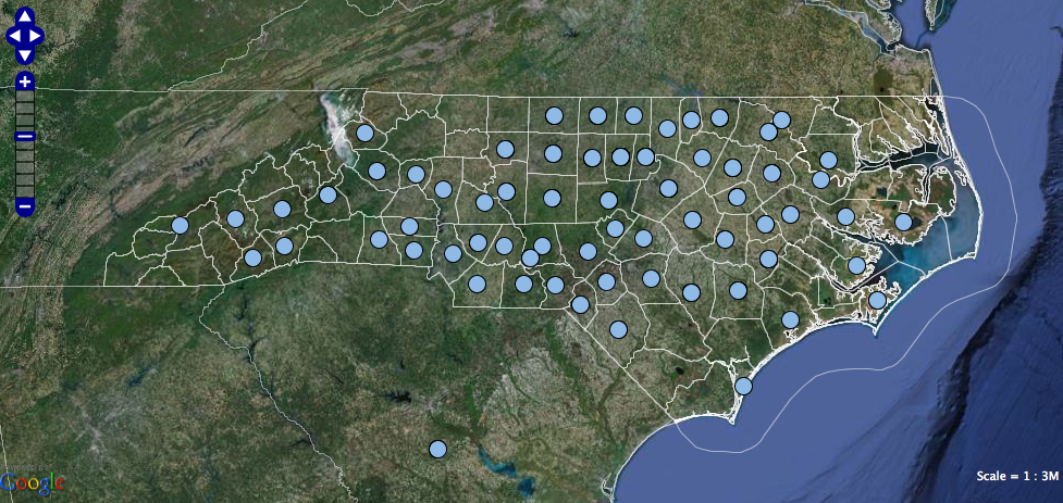
Research at the UNC Gillings School of Global Public Health doesn’t stop in Chapel Hill. Our maps of North Carolina and the world show where School faculty, staff and students make a difference.
CHAPEL HILL—The University of North Carolina’s Gillings School of Global Public Health has impact far beyond the UNC campus in Chapel Hill. From Dare to Swain counties in North Carolina, from Malawi to Malaysia, the school’s reach is worldwide.
Now the school can communicate easily its worldwide impact through Web-based, interactive maps developed by RENCI. The maps, viewable on the public health school’s website, use data on the school’s research projects contained in UNC’s RAMSeS, a comprehensive archive of all UNC funded research projects maintained by the university’s Office of Research Information Systems.
Hong Yi, a senior research software developer at RENCI, migrated SPH data from RAMSeS into a dynamic database housed at RENCI. Using RENCI’s Geoanalytics Framework, Yi linked each research project from RAMSeS to latitudes and longitudes on a map, then merged the geo-referenced database with online mapping tools such as Google Maps. The end result is a Web interface that allows users to click on dots on a map and see information about current, previous, or all public health school projects at that location. When new research projects are added to the RAMSeS database, they automatically are added to the geo-referenced database and can be viewed on the map.
“We are a school with broad local and global reach, and this system provides a very intuitive way to visualize that reach,” said Christin Minter, director of the public health school’s Office of Research. Minter said the school will use the tool to explain its impact to prospective students and faculty members and to North Carolina legislators and community leaders. Over time, the visualization tool could be refined, so that users could filter information by project type (water research or cancer-related research, for example) or by a researcher’s name, she said.
Because many UNC schools, colleges, departments and research centers could benefit from a Web-based geo-visualization tool, the framework was developed to be easily adaptable to the needs of other UNC campus units. Given time and resources, RENCI has the capacity to geo-reference and visualize the entire RAMSeS database, said Yi.
RENCI Senior Research Software Developer Jeff Heard developed the Geoanalytics Framework as a flexible infrastructure that can be extended and customized for any project that would benefit from integrating data with a Web-based mapping system. The National Weather Service funded development of the framework as part of a project to incorporate weather and climate information into emergency management decision-making tools.


